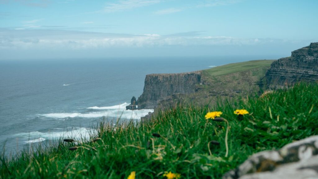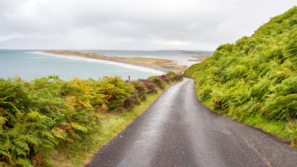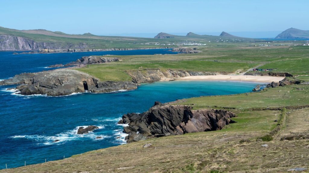

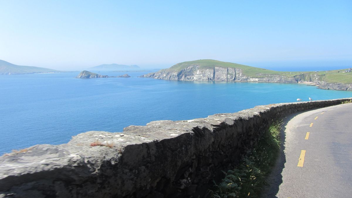
If you’ve been scrolling through Ireland photos and landed on one with impossibly green cliffs dropping into a navy-blue Atlantic, there’s a good chance it was taken somewhere along the Slea Head Drive. It’s one of those routes that photographs well from literally any angle, which is rare for a road.
So what is the Slea Head Drive, exactly? It’s a signposted loop road on the Dingle Peninsula in County Kerry, part of the wider Wild Atlantic Way. It starts and finishes in Dingle town, traces the coastline out past Ventry and Slea Head itself, loops around Dunquin and Ballyferriter, and brings you back through Gallarus. Along the way you get cliffs, beaches, a couple of thousand years of history, and views of the Blasket Islands that genuinely stop conversations mid-sentence.
This guide pulls together maps, local heritage records, and conversations with people who know this peninsula properly, organised the way we wish someone had organised it for us before planning this route.
Some quick need-to-knows about the Slea Head Drive
Before the detail, here’s the short version. Bookmark this bit if you’re planning on the fly.
Location
The Slea Head Drive sits on the Dingle Peninsula, the westernmost of Kerry’s peninsulas and one of the westernmost points in Europe. It follows the R559 road, and it’s fully signposted, so you don’t need to be glued to a GPS the whole time.
Where to start and finish
Start in Dingle town. Most guides point you toward the Dingle Distillery on the western edge of town as the unofficial starting line, since that’s roughly where the town ends and the loop road begins. You’ll finish back in Dingle too, so it’s a proper circuit, not an out-and-back.
How long it takes
Without stopping, the loop takes under an hour. But nobody drives the Slea Head Drive without stopping, so the honest answer is to set aside at least half a day. If you want to actually get out of the car at each viewpoint, read the information boards, and maybe grab a coffee somewhere with a view, allow at least 4-5 hours.
Which direction to drive in
Go clockwise. Leave Dingle heading west toward Ventry, then continue around. Driving clockwise means the coastal views (and the pull-in spots) are on your side of the car, and it keeps you facing outward on the narrower bends rather than meeting tour coaches nose to nose. On a road this narrow, that matters more than it sounds like it would.
Most popular stops
If you only had time for five stops, the shortlist of must-see attractions is: Dunbeg Fort, the beehive huts, Coumeenoole Beach, Dunquin Pier, and Gallarus Oratory. We’ll cover all of these below, plus a handful of quieter ones worth the short detour.
Our Slea Head Drive map with stops plotted
The Slea Head drive map above outlines the “main” stops along the route. The optional stops are marked in green, like the beehive huts. You’ll find each of those mentioned alongside the main stop they sit closest to below, plus their own write-up further down the post.
If you’d rather have the main stops as a simple list to follow in the car, here’s the order we’d drive the Slea Head Drive in, going clockwise from Dingle:
- Ventry Beach
- Slea Head Viewpoint
- The White Cross
- Coumeenoole Beach
- Dunquin Pier
- The Blasket Centre
- Ceann Sibéal viewing point
- Clogher Strand
- Gallarus Oratory
Keep an eye out for the small brown “Slea Head Drive” signs rather than blindly trusting your phone’s map. A couple of the turns are easy to miss, and one or two apps have been known to reroute drivers off Slea Head Drive entirely.
An overview of the Slea Head Drive stops
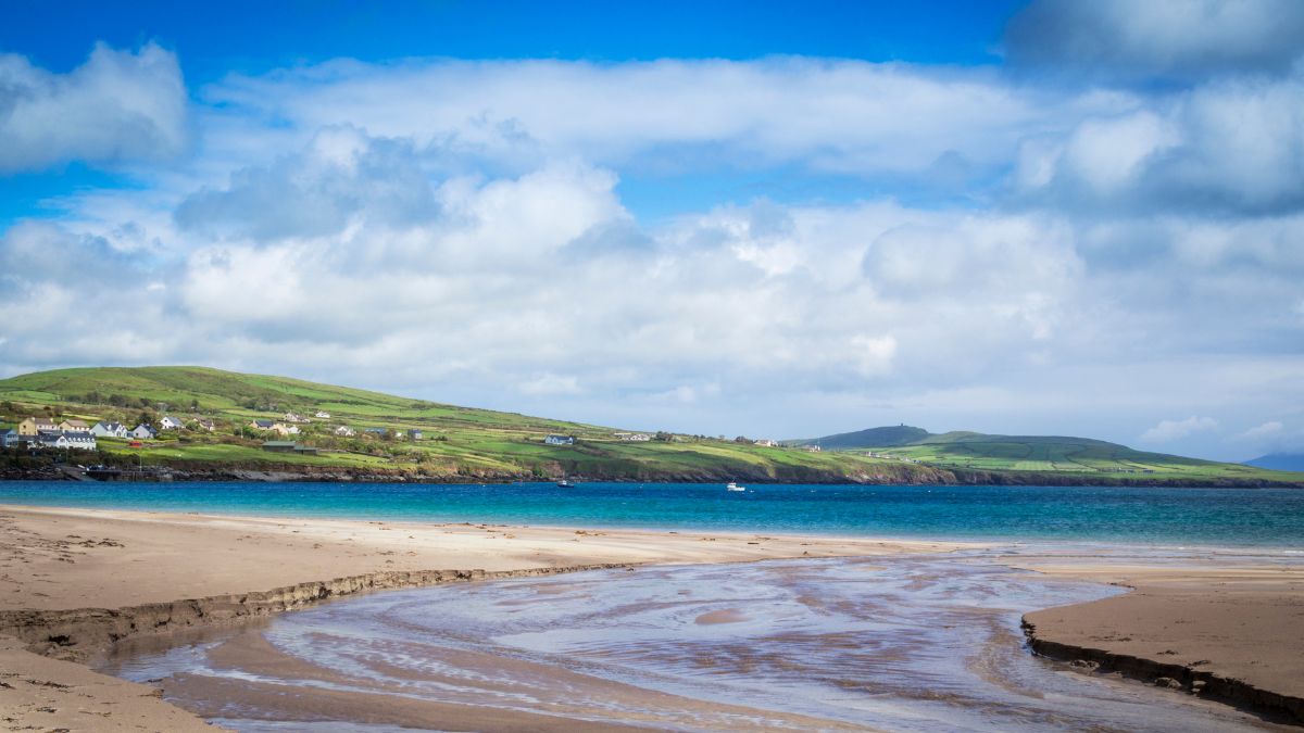
Ventry Beach
A long, gentle curve of sand that’s your first proper coastal view after leaving Dingle. Good for a leg-stretch, and a popular spot with local swimmers even in weather that would put most visitors off.
Slea Head Viewpoint
The spot the whole drive is named for. This is where the road turns from heading west to heading north, and it’s the first place you properly see the Blasket Islands sitting out in the water. On the way here from Ventry, keep an eye out for Dunbeg Fort, the beehive huts, Cashel Murphy, and the fairy ring fort, all signposted just off the main road. We’ve given each of these its own write-up below.
The White Cross
A tall white cross set on the clifftop between Slea Head and Coumeenoole, one of several roadside crosses along this stretch. It’s a quieter spot to pull in for photos of the Blasket Islands than Slea Head itself, without quite the same crowd.
Coumeenoole Beach
Steep steps down to a beach that’s dramatic rather than swimmable for most of the year. This was one of the filming locations for Ryan’s Daughter, and locals will still bring it up unprompted if you mention the film.
Dunquin Pier
The departure point for the Blasket Islands ferry, running roughly April to October. The pier itself zigzags dramatically down the cliff face, and it photographs beautifully. A common sense warning while we’re here: do. not. drive. down. to. the. pier. Every few years a tourist does, and their car gets wrecked.
The Blasket Centre
Ionad an Bhlascaoid tells the story of the Great Blasket Island community, evacuated in 1953 after decades of isolation and hardship. If you’re interested in the diaspora story, Irish language, or oral history, this is worth spending more time on than a quick walk-through.
Ceann Sibéal viewing point
Also known as Sybil Head, a dramatic headland that is also one of the Star Wars filming locations on the peninsula. Easy to drive straight past if you’re not watching for the turn.
Clogher Strand
A wild, surf-heavy beach near Ceann Sibéal, better for a photo stop than a swim given the currents. It rarely makes the highlight-reel lists, despite being one of the more dramatic coastal views on the whole loop.
Gallarus Oratory
A small, dry-stone church shaped like an upturned boat, built without any mortar and still watertight after well over a thousand years. Nobody knows the exact date it was built, which is part of the appeal. Local legend says anyone who climbs through the tiny window is guaranteed a place in heaven, though we wouldn’t recommend testing the theory in front of the tour groups.
Optional stops
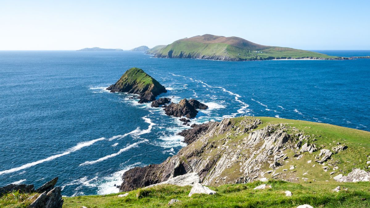
These won’t all fit neatly onto a main route map, but they’re worth building into your day if you have the time. We’ve grouped them roughly in the order you’d reach them driving clockwise.
Fairy ring fort
A small earthen ring fort tucked just off the road, one of several scattered across the peninsula that local folklore says are best left undisturbed. Easy to miss unless you know to look for it.
Dunbeg Fort
A promontory fort perched right on the cliff edge, parts of which have already fallen into the sea due to coastal erosion. That’s not a design flaw, it’s just what happens when you build on the edge of the Atlantic for a couple of thousand years. What’s left is still worth the stop, and the visitor centre across the road puts it in context.
Beehive hut
Small, circular drystone clocháin built without mortar, that housed early Christian monks or farming families depending on which archaeologist you ask. This particular cluster sits on private land just off the road, usually with a small entry fee that goes straight to the family maintaining it.
Cashel Murphy
A stone ringfort named after the local family whose land it sits on, quieter and less signposted than its neighbours in the same cluster.
Hold a baby lamb
A seasonal farm stop along the route, only really on offer during lambing season in spring, where you can meet, and sometimes hold, newborn lambs. Worth checking locally for exact timing, since it depends entirely on when the lambs arrive.
Beehive forts
A second, quieter cluster of stone huts along the route, similar in style to the more visited beehive hut above but seeing far fewer cars pull in.
Blasket View (Radharc na mBlascaoidí)
A signposted viewpoint along the road giving one of the clearest, most photographed views across to the Blasket Islands. A good stop if The Blasket Centre itself is busy or you’re short on time.
Dunmore Head
The westernmost point of the Irish mainland. There’s a short, easy walk out to the tip, and on a clear day the views across to the Blaskets are some of the best on the whole route. If coastal walking is your thing beyond just this one stretch, it’s worth looking at our guide to the best hikes in Ireland for other trails on this stretch of coast.
Ogham Stone
An early carved stone marked with Ogham script, the ancient Irish alphabet made up of lines cut along a central edge. It sits within the grounds of Kilmalkedar Church, worth a slow look rather than a quick photo.
Kilmalkedar Church
A roofless 12th-century church with a sundial in the graveyard alongside the Ogham stone above. It sits along a stretch of road most people drive through without stopping.
Conclusion
The Slea Head Drive packs an unreasonable amount into a fairly short loop: cliffs, beaches, a couple of thousand years of history, and a view of the Blasket Islands that’s hard to describe without sounding like you’re exaggerating. Drive it clockwise, give yourself more time than you think you need, and don’t skip the optional stops just because they didn’t make the main route map. Some of the best parts of the Slea Head Drive are the ones nobody bothers to photograph.
Frequently asked questions
-
Is the Slea Head Drive worth it?
Yes. It’s regularly ranked among the best coastal drives in Ireland, and it earns that reputation honestly. Even a rushed half-day version of the Slea Head Drive covers cliffs, ancient monuments, and island views you won’t find packed this closely together anywhere else on the west coast.
-
How long does it take to do the Slea Head Drive?
Driven without stopping, under an hour. With stops at the main sites, plan on 3 to 5 hours. If you want to properly explore the lesser-known spots too, a full day gives you room to slow down.
-
Is Slea Head Drive safe?
Generally, yes, but the road is narrow in places with sheep, cyclists, and tour coaches sharing the same tight bends. Drive slowly, use the designated pull-in areas rather than stopping on blind corners, and remember you’re driving on the left.
-
Where to start the Slea Head Drive?
Start in Dingle town, near the Dingle Distillery at the western edge of town, where the loop road officially begins.
-
Is Slea Head Drive one way?
It’s a two-way road, but it’s strongly recommended to drive it clockwise. Going clockwise keeps you on the coastal side of the road at the viewpoints and helps you avoid meeting tour buses head-on on the narrower stretches.