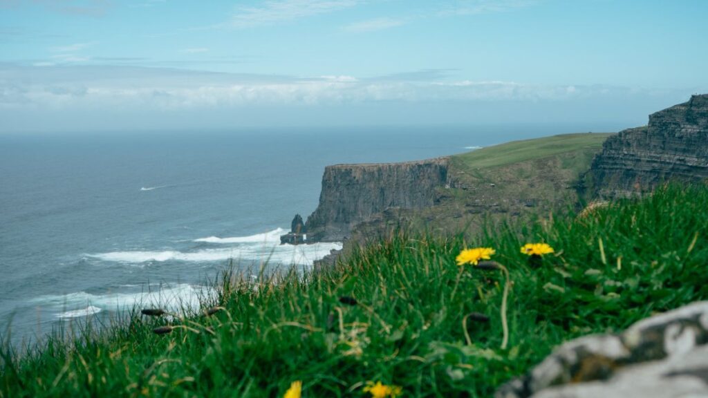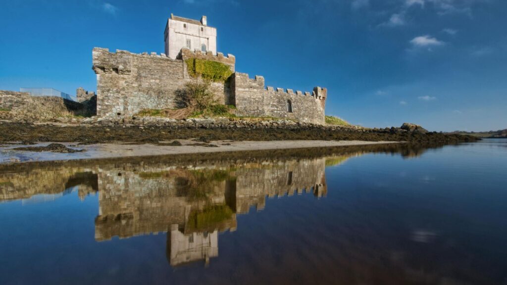


Picture this: a road that hugs the edge of the Atlantic so closely you could reach out and touch the spray, mountains folding into the mist behind you, and not a single straight line in sight for 179 kilometres. That’s the Ring of Kerry, and it’s the reason so many people build their entire Ireland trip around one drive.
I get messages all the time from readers planning their Ring of Kerry road trip, and they all ask some version of the same question: How many days do I actually need, and what will I miss if I rush it?
So let’s settle it properly. Here’s my full 3-day Ring of Kerry itinerary, with a map, real lunch spots, honest accommodation picks, and the stuff nobody tells you until you’re already stuck behind a tour bus.
What is the best Ring of Kerry road trip?
The best road trip Ring of Kerry has to offer isn’t the rushed, one-day loop that most tour buses squeeze into six and a half hours. It’s a 3-day version that breaks the 179km circuit into three relaxed legs: Killarney to Waterville, a full day exploring the wild Skellig Ring out to Cahersiveen, and then the long way home through Sneem and Kenmare.
Three days give you time to actually get out of the car. You’ll walk the cliffs instead of glancing at them through a windscreen, eat a proper lunch instead of a sad garage sandwich, and still make it back to Killarney with energy left for a pint.
If you’ve only got one day, you can absolutely still do the Ring of Kerry drive route in a single push. But you’ll spend most of it driving and very little of it actually being there. Three days is the sweet spot.
Before you set off: a few essentials
A couple of things will make or break your Ring of Kerry road trip before you even leave Killarney.
- Sort your car first. Most of this route runs on narrow, twisting roads with the odd blind bend, so a smaller car makes life easier. If you haven’t organised one yet, my guide to renting a car in Ireland walks through what to book, what insurance actually matters, and which pickup points save you hassle.
- Drive clockwise. This one trips people up constantly. Tour buses run the Ring counterclockwise by long-standing agreement, heading out from Killarney through Killorglin first. If you drive clockwise instead, starting toward Kenmare, you’re moving against that flow. That means you’re not stuck crawling behind a coach for half the morning, and you get the sea view on your side of the car for most of the drive.
- Start early, especially in summer. Most coach tours don’t leave Killarney until 9 or 9:30 am. Get on the road by 8 am, and you’ll have the best viewpoints practically to yourself.
- Fuel up in Killarney. Petrol stations thin out fast once you’re past Killorglin.
Ring of Kerry road trip map
For official driving routes and tourist info, visit the Ring of Kerry website.
Day 1: Killarney to Waterville

This first leg eases you in with some of the Ring’s most photographed scenery, plus your first proper taste of how slow and lovely this drive can be if you let it.
Morning stops
If you’re an early riser, it’s worth squeezing in the Gap of Dunloe before you properly set off. It’s just outside Killarney town, and gives you a dramatic little valley walk between the Purple Mountains and MacGillycuddy’s Reeks, minus the crowds you’ll meet later in the day.
Once you’re on the road toward Kenmare, it’s worth a short detour into Killarney National Park to see Ross Castle sitting right on Lough Leane, and Torc Waterfall a few minutes further on. Both are five-minute stops, but they set the tone for the day.
Keep going, and you’ll hit Ladies View, a lookout over the lakes and valleys said to be named after Queen Victoria’s ladies-in-waiting, who apparently couldn’t stop talking about it on their visit. Still a fair assessment today.
From there, the road climbs up through Moll’s Gap. Pull in here too. The view back over the MacGillycuddy’s Reeks mountain range is one of those moments where everyone in the car goes quiet for a second.
Lunch in Sneem
Sneem is a genuinely pretty village, all pastel-painted shopfronts around a village green, and it makes a natural lunch stop. I usually point people toward a bowl of seafood chowder here. It’s a small place, so it fits well alongside the other charming towns in Ireland worth building a stop around, rather than just driving through.
Afternoon: Caherdaniel and Derrynane
After lunch, the road pushes further along the coast to Caherdaniel. Derrynane House and its beach are worth the turn-off, especially if the tide’s out and you can walk right down onto the sand. Staigue Fort, a short drive inland from here, is a 2 500-year-old ring fort that most tour buses skip entirely because of the narrow approach road. That’s exactly why it’s worth the detour in your own car.
Keep going, and you’ll roll into Waterville by late afternoon.
Where to stay in Waterville
Waterville sits right on the water, and it’s a comfortable, unpretentious place to end your first day. Look for a guesthouse or small hotel along the seafront so you can walk to dinner. The town has a handful of solid seafood restaurants, and after a full day of driving, not having to get back in the car is worth a lot.
A reader named Aoife emailed me after doing this exact first day with her parents last summer. She said the thing that stuck with her wasn’t Moll’s Gap or the castle; it was stopping at Staigue Fort on a whim because her dad refused to drive past a sign for a 2 500-year-old fort without looking. That’s the sort of detour a 3-day pace actually allows for.
Day 2: Waterville to Cahersiveen

This is the day most one-day tourists never get to see, because it isn’t technically part of the official Ring of Kerry route. It’s called the Skellig Ring, and I’d argue it’s the best few hours of the entire road trip Ring of Kerry visitors talk about afterwards.
Morning: Ballinskelligs and St Finian’s Bay
From Waterville, follow the signs for the Skellig Ring rather than continuing straight on the main N70. First stop is Ballinskelligs, with its ruined castle sitting right at the edge of the beach. Then push on to St Finian’s Bay, where the road narrows, and the Atlantic properly opens up in front of you. This stretch is too tight for the big coaches, which means far less traffic and a lot more room to just stop wherever you like.
Lunch in Portmagee
Portmagee is a tiny fishing village and the departure point for boats out to Skellig Michael, of Star Wars fame if that means anything to you. Even without a boat booked, it’s a great lunch stop. Grab a table at one of the harbourside pubs and order the seafood chowder or fish and chips while you watch the boats come in.
Afternoon: Valentia Island and the Kerry Cliffs
Cross the bridge onto Valentia Island and head up to Bray Head first. The Bray Head Walk is a short, well-marked climb with one of the best views of the Skellig Islands you’ll get on the whole trip. From there, swing by the Valentia Lighthouse at Cromwell Point, still working, and genuinely striking against the water.
If you’re into the properly ancient rather than just the old, the Tetrapod Trackway is worth the short walk down to the shoreline. It’s a set of 385 million-year-old footprints preserved in the rock, left by one of the earliest four-legged creatures to crawl out of the sea. It’s a strange thing to come across at the edge of Europe.
Before you loop back to the mainland, don’t skip the Kerry Cliffs. They’re on private land with a small entry fee, but at roughly 1,000 feet high, they genuinely rival the Cliffs of Moher for drama, with a fraction of the crowds.
By late afternoon, loop back onto the main route and finish the day in Cahersiveen.
Where to stay in Cahersiveen
Cahersiveen is a working market town rather than a postcard village, which is honestly a nice contrast after two days of scenery. It has a good spread of B&Bs and small hotels along the main street, plus a couple of solid pubs for dinner with live trad music most summer evenings.
Day 3: Cahersiveen to Killarney

Your final day brings you back through the last stretch of coastline and into the mountains before you close the loop.
Morning stops: Kells Bay and Glenbeigh
Leave Cahersiveen and head for Kells Bay, home to a small subtropical garden that catches people off guard given how wild the coastline around it looks. A little further on, Glenbeigh sits above Rossbeigh Beach, a long stretch of sand backed by dunes that’s worth ten minutes out of the car, even just to feel the wind change.
Lunch in Killorglin
Killorglin makes a natural final lunch stop before you’re back in Killarney. It’s a working town rather than a tourist set piece, best known for the Puck Fair each August, but it has a few solid pubs serving straightforward, well-cooked food. Nothing fancy, just a good plate before the last short hop home.
Back to Killarney
From Killorglin, it’s a quick 25 minutes back into Killarney, and your Ring of Kerry road trip is officially done.
I heard from a couple, Mark and his partner, who drove this same three-day route two Septembers ago. They told me the detail that made the trip for them was the subtropical garden at Kells Bay, purely because they weren’t expecting it. After two days of dramatic Atlantic views, a sheltered, almost jungly little garden felt like a plot twist. It’s a good reminder that the smaller, unbilled stops often land harder than the famous ones.
Conclusion
A one-day Ring of Kerry drive will show you the highlights. A 3-day version lets you actually live in them for a while. You’ll get proper time at Staigue Fort, the Skellig Ring, and the Kerry Cliffs, three places that barely register on the rushed version of this trip.
If you take one thing from this itinerary, let it be this: drive clockwise, start early, and build in enough slack to pull over when something catches your eye. That’s where the real memories of this drive tend to come from.
Frequently asked questions
What not to miss on the Ring of Kerry?
Don’t skip the Skellig Ring detour between Waterville and Portmagee, the Kerry Cliffs near Portmagee, and Staigue Fort near Caherdaniel. All three sit slightly off the main coach route, which is exactly why they’re quieter and, in many ways, more memorable than the official stops.
How many days do you need to do the Ring of Kerry?
You can technically drive it in a single day, around six to seven hours including short stops. But three days lets you properly explore the Skellig Ring, walk the beaches at Derrynane and Rossbeigh, and eat a real lunch instead of grabbing something on the go.
What is the best route for the Ring of Kerry?
Drive it clockwise, starting from Killarney toward Kenmare rather than Killorglin. Tour buses run counterclockwise, so going clockwise means you’re driving against the coach traffic instead of getting stuck behind it, and you’ll have the coastal views on your side of the car.
Where to base yourself for the Ring of Kerry?
Killarney is the easiest base if you want one hotel for the whole trip, since it sits right at the start and end of the loop. If you’re doing the full 3-day version, splitting your nights between Waterville and Cahersiveen, as in this itinerary, means less backtracking and more time actually on the road.
What is the best town in the Ring of Kerry?
It depends what you’re after. Sneem is the prettiest for a wander and a photo. Portmagee has the best village atmosphere and seafood. Waterville has the strongest seafront setting for an overnight stay. Honestly, most visitors end up with a soft spot for whichever one they happened to eat their best meal in.